IMS users often perform their own light GIS tasks in tools like Google Earth Pro where the output is KML/KMZ.
The IMS Feature Layers allow IMS to manage KML so that users didn't need to drag in KML/KMZ files every time they wanted it visualized and it allows a convenient way to share KML/KMZ with other IMS users.
Let's check it out!
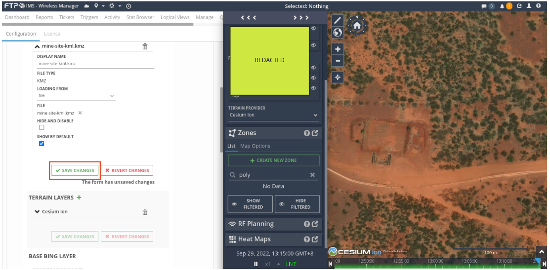
This example uses Google Earth Pro in order to create some KML / KMZ polygons.
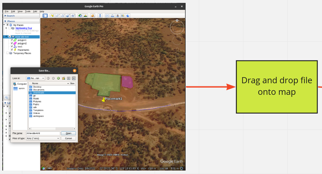
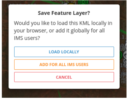
Load locally will load the file onto the map and keep it there until the browser is refreshed. Add for all IMS users will store the layer in IMS where it will persist between refreshes and be available for other users. Let's first explore the load locally option.
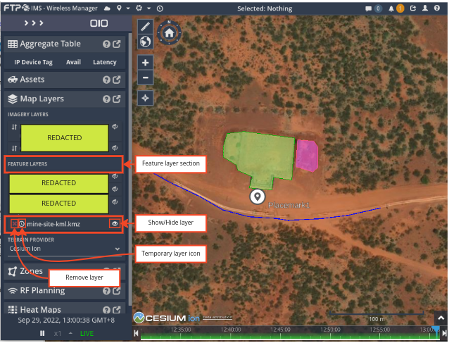
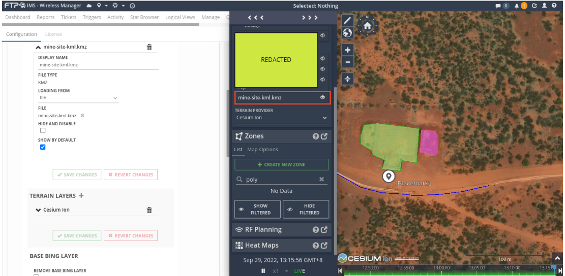
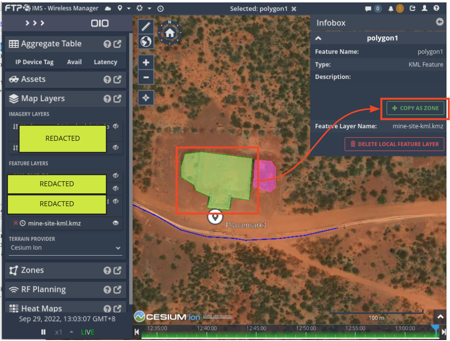
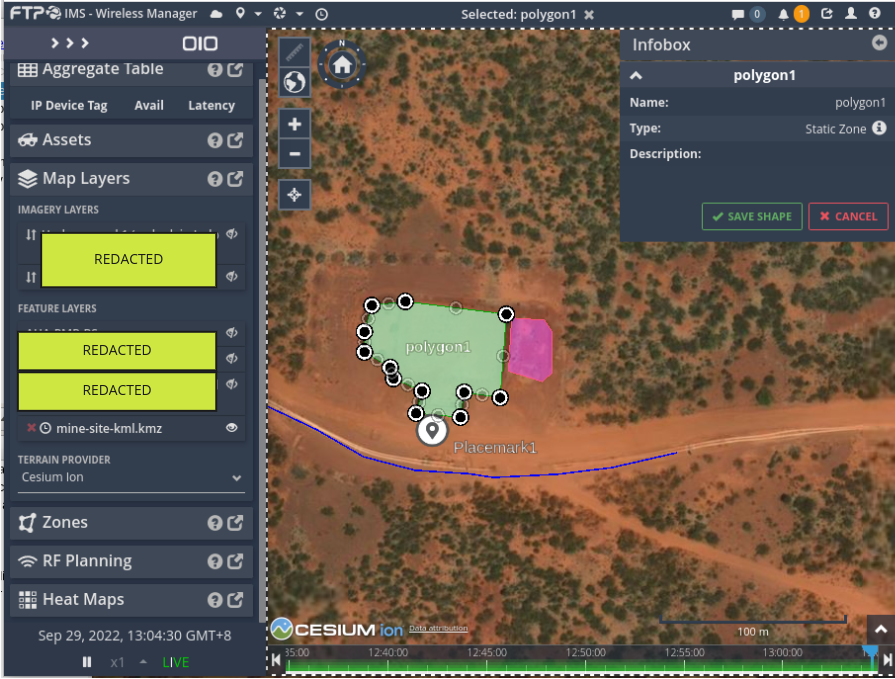
The KML features are selectable with a left click. This will show any metadata about the feature and allow the conversion of the KML feature to an IMS zone. Once the feature has been converted to an IMS zone, it can be used with IMS zone related features.
Choosing the “Add for all IMS users” option will take you to the IMS administration page where you can save your new layer and it will be available for use.